Next phase in Highway 30 lands return
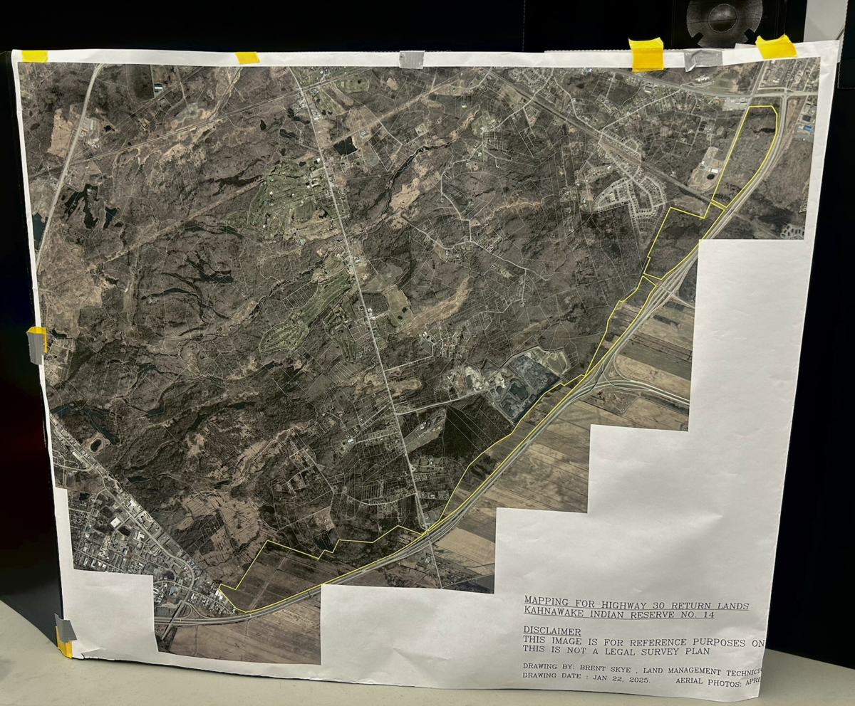
The next steps in the process of determining what the lands returned to Kahnawake on Highway 30 and the Old Chateauguay Road may be used for have now been confirmed after a review of community feedback assembled last year.
Those steps, according to a press release published by the Mohawk Council of Kahnawake (MCK), include “ratification of the designation recommendations by the Working Group and submission of this ratification to the Council of Chiefs for formalization through Mohawk Council Executive Directive.”
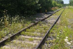
Initial community engagement efforts to find out how Kahnawake wanted the more than 500 acres of returned land to be used were done by independent consultants Neil McComber and Louise Mayo and the Lands Designation Working Group (LDWG), which took place as community focus groups, one‑on‑one discussions, surveys, and public kiosk activities.
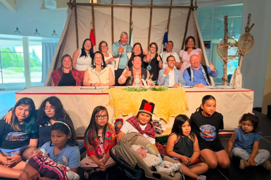
“That was something that was committed to back when the lands were returned was that the community would be engaged in terms of the usage,” said MCK grand chief Cody Diabo.

A report on those consultations was done by the LDWG in 2025, who also gave its own recommendations on how each section of the land should be designated.
The results of the consultations and the LDWG recommendations broadly aligned, with conservation, housing, and commercial being given the biggest percentage of space in both instances.
Community feedback and the LDWG’s recommendations differed in terms of how big of a percentage commercial usage should take (18 per cent in community engagement, 28 per cent in the recommendations), agricultural usage (17 per cent and 14 per cent), and recreational usage (five per cent and two per cent).
The differences in commercial usage is explained in the press release as being due to the feasibility of having other designations be used in some of the land being returned. Agriculture, residential spaces, or recreational activities may not be feasible in some lots due to the soil conditions, proximity to the highway, and lack of infrastructure, for example.

“We don’t have much land left; whatever we do, we have to make sure we do it right,” said MCK council chief David Diabo, the lead on the lands portfolio, in the press release.
Further focus groups were conducted by the LDWG to make sure the findings were valid and more complete after the publication of the report. A document detailing frequently asked questions and concerns from those focus groups is available on the MCK website.
Land designation is covered in three of those questions, namely the differences between designation and development, the different kinds of designations and what they mean, and whether or not designation can be changed later.
According to the document, designation refers to the process of planning where land is set aside for a specific purpose or use, while development refers to the actual use of the designated land for a specific purpose. A designation may be changed in the future depending on the needs of the community and is not set in stone.
Sign up for email updates from The Eastern Door
“This entire process was only about designating the lands. Any future use of these lands by the community would require its own engagement processes, assessments, and approvals prior to moving forward,” said David.
The Kahnawake Environment Protection Office’s Environmental Advisory Group also provided feedback during this most recent review phase, with environmental and technical considerations being put forward.