Drone scans for flood prevention project
Hadassah Alencar The Pines Reporter
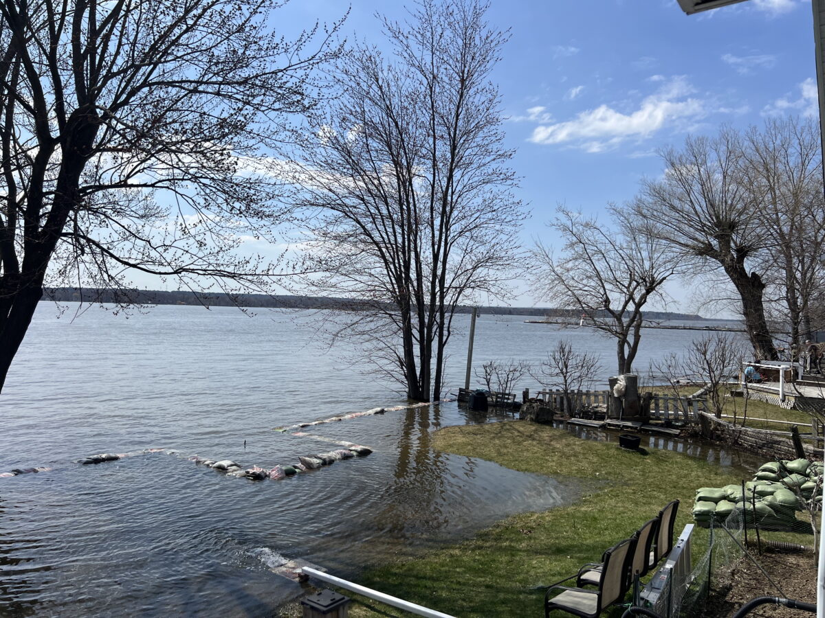
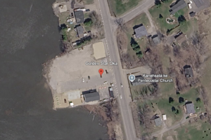
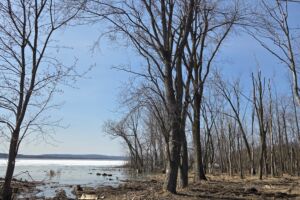
Ratihontsanonhstats Kanesatake Environment conducted an aerial scan of the shoreline and waterfront properties in Kanesatake last week for an ongoing project to erect natural flood barriers on the territory.
Drones flew overhead on Tuesday, scanning the houses and land to provide an accurate topographic scan for Stantec, an engineering company commissioned by the Mohawk Council of Kanesatake (MCK) environment department, to create a plan to build the barrier.
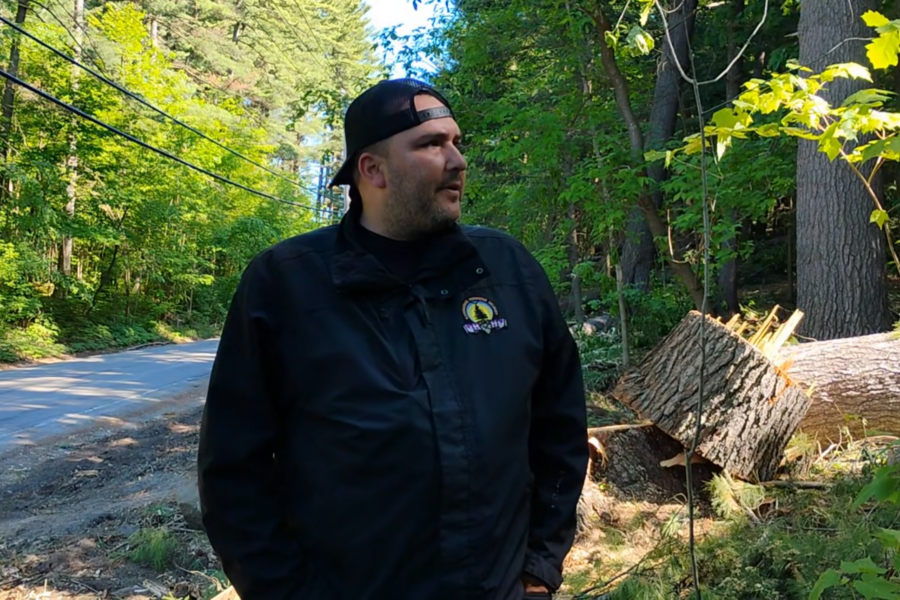
“They’re going to look natural, they’re not going to look man-made. There are certain plants you have to plant on them, so the roots hold everything together,” said Colin Nicholas, project coordinator for the environment department.
Nicholas accompanied the drone operators as they scanned the properties to reassure and explain the project to community members. All those living along the shoreline and properties nearby allowed Nicholas and the surveyors to access and take footage of the property.
“The first day was to set up our GPS and survey certain properties and put targets for the drone,” said Nicholas. “Then the second day was to go out with the drone and scan the properties.”

But one community member confronted the team after they had just finished scanning the last property and destroyed parts of the more than $100,000 drone, including the dry carbon fiber stabilizers, propellers, and a portion of the body of the drone, said Nicholas.
“We were just wrapping up the last scan, and we were interrupted by a community member. He was very concerned, but also very verbally aggressive towards the surveyors and myself. We tried to handle this situation professionally, but the person did not want to hear what I had to say about the project, and he just condoned to destroying the surveyor’s property, the drone,” said Nicholas.
Fortunately, the scan had already been completed before the incident, said Nicholas. The company will file a damages claim with their insurance.
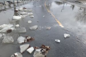
The drone scan is based on a six-year-old project with the environment department to combat damage from flooding in Kanesatake. In 2022, Nicholas began running workshops and going door-to-door to get input from Kanehsata’kehró:non experience with flooding. The next year, he sought community feedback again on what kind of floor prevention methods Kanehsata’kehró:non would approve.
“What we’re trying to do is prevent any future floods. Obviously, it costs the homeowners a lot of money to do the repairs,” said Nicholas.
Renovating waterfront houses to sit on stilts or building a concrete wall as a floor barrier were both refused by the community, who felt the two methods were invasive and ugly.
“They didn’t want a concrete barrier to make it look like a prison,” said Nicholas.
Instead, the most requested option was to erect a dike, an embankment to prevent flooding, with deep-rooted plantations to hold back floods and match the natural environment.
This community input was shared with Stantec, an engineering company, that prepared a barrier feasibility study in 2024 showing possible areas for the dike and how these barriers could be built while following environmental laws.
Last year, the department applied to continue the project and have Stantec create a plan on how to build natural embankments. The aerial survey last week will give Stantec the data to create a plan for the embankment, and no date is set for when the report will be published.
Sign up for email updates from The Eastern Door
Hadassah Alencar, Local Journalism Initiative Reporter